El Niño has started again. On June 11, 2026, NOAA said El Niño had formed in the tropical Pacific and issued an El Niño Advisory. NOAA expects it to become stronger in the next few months and reach its highest level in winter. NOAA’s June forecast shows very high chances of El Niño through late 2026, and the World Meteorological Organization also says the chance is about 80% for June to August and more than 90% by at least November. (prod-01-alb-www-noaa.woc.noaa.gov)
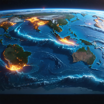
So, what is El Niño? It is the warm phase of a natural climate pattern called ENSO. It happens when surface water in the central and eastern tropical Pacific Ocean becomes warmer than normal for several months. During El Niño, winds over the Pacific become weaker, less cold water rises from below, and warm water spreads farther east. This warm ocean adds heat and moisture to the air, so it can change clouds, rain, and air pressure far away from the Pacific. (prod-01-alb-www-noaa.woc.noaa.gov)
Why does this matter? Because the ocean can help move the world’s weather. NOAA says a typical El Niño winter often brings wetter and stormier weather to the southern United States and warmer weather to the northern United States. It can also reduce Atlantic hurricane activity, while some parts of the Pacific may see more storm activity. WMO warns that El Niño can increase the risk of drought, heavy rain, and heat waves in many places around the world. (prod-01-alb-www-noaa.woc.noaa.gov)
El Niño does not control every storm or every hot day. But it is one of the most powerful climate patterns on Earth, so scientists watch it closely each month. For English learners, this is a useful idea to remember: even a small change in sea temperature can help change weather across the planet. The sea is not quiet. It speaks to the sky. (climate.gov)